S&B Drone Solutions

What is drone data collection?
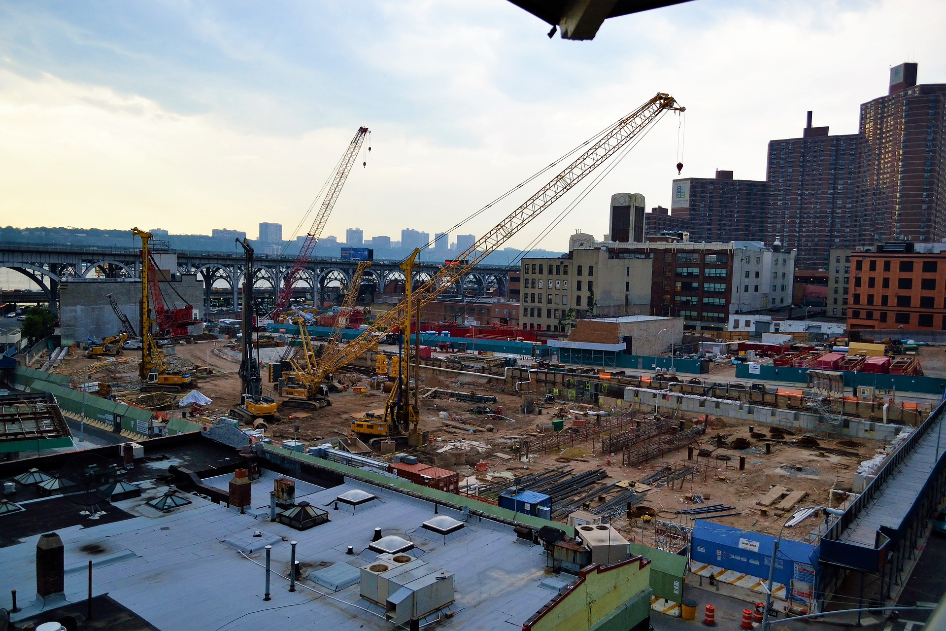
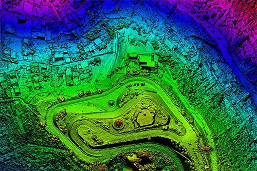
Drones or UAVs are designed to replace some terrestrial surveying equipment. As with manual data collection methods, organizations in a variety of industries can use drones for project progress monitoring; to prepare for or to conduct site inspections; to assess sites and identify problems; to procure footage or information for marketing and reporting purposes; to conduct research; and for other forms of analysis and processing. Indeed, drone data collection means far more than just launching a drone equipped with a camera and hovering it above the site to snap a few photos. They utilize distinct technologies to produce incredibly information- rich datasets.

High-Resolution Photography and Data Collection
Almost any industry can benefit from aerial imaging. Photography and videography captured from a birds-eye vantage point gets the attention and visibility you want for everything imaginable – from marketing to site inspections to thermal energy detection. Aerial images can be further processed to offer additional insight, a game-changer in industries like agriculture. Why settle for uninspiring and ineffectual ground-level photography and video when aerial drone imaging is within your reach?

Drone Inspection Services
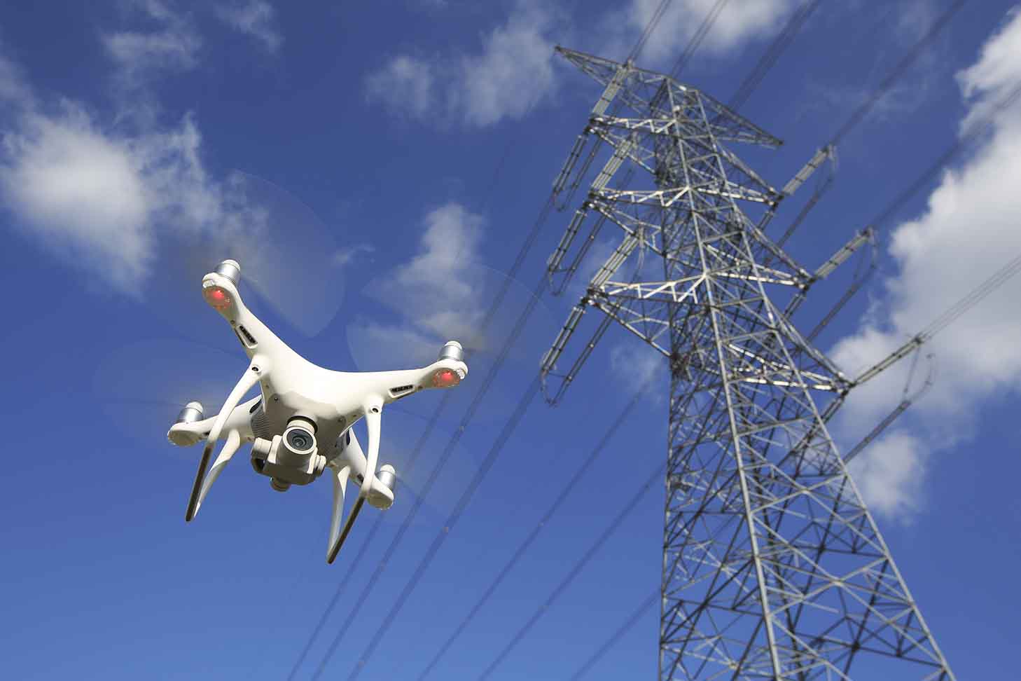
In industries where regular equipment, structure, and site inspections are necessary for safety and regulatory compliance but accessibility and safety are concerns, drone inspections are an excellent alternative. With our team of experienced, licensed pilots, we can provide you with drone inspections that improve the safety of your worksite without sacrificing the attention to detail needed to keep equipment and structures properly maintained.